
Simon Mcintosh '08
Simon Mcintosh’s first trip to Mongolia was during the summer following his freshman year at the University of Vermont. His father, involved with the Mongolia Ecology Center after a 40-year career with the US National Park Service, asked Simon to be a wilderness expert and guid a team making maps in Hovsgol National Park using handheld GPS trackers. “Other than being a competent outdoorsman, I didn’t have any skills, but I was out there with a GIS (geographic information system) technician, a trails expert, a couple of Mongolian guides, and Center staff.”
Simon entered college thinking he would study history and become a teacher. That idea didn’t last long. After his summer in Mongolia, he switched to environmental studies, particularly focusing on policy and protecting lands. Acquiring the hard skills involved in geospatial technology, that is, the modern tools used for mapping the earth, became a priority and then he became interested in presenting the information in a readable and appealing manner after the data is collected. He learned GIS “stuff” and how to use the data and, after spending his junior year with Semester at Sea in the South Pacific, it was time to undertake his thesis. He decided to return to Mongolia for two months during the summer and “commit to a project that would have some impact on the country.”

The goal was to map the region west of Hovsgol National Park surrounding the Darkhad Valley where Tsaatan “reindeer people” live. Going out on six- to 10- day expeditions on horses and motorcycles, he and his team found a spiderweb of roads, not all of which made it onto their final map. “I would go out and talk to people with our local guides and my partner, Orkhon (she works for Mongol Ecology Center and was our contact there),” Simon explains. “the land is so fragile, and it is so hard for things to grow, that it was easy to see where people travel. We would travel the routes and see what was in use. We had a series of meetings with park officials and other interested officials to discuss which roads would be printed on the maps. Once these roads are on maps, they are the ones that will be maintained and known about.”
Simon remembers arriving at the encampment of a group of reindeer herders during one expedition on horseback in the Mongolian wilderness. It was an eight to ten-day trip, he recalls, and “I was sick of being on a horse” even though the land was “incredibly beautiful with rolling spiky mountain tops.” Simon and his fellow travelers “never felt more welcomed” than they did by the Tsaatan who offered them milk tea (the milk was from the reindeer!) and a place to sit in their teepees. As they drank, the travelers could view hundreds of reindeer roaming around the remote area. While Orkhon would translate some of the conversation, the Tsaatan, “who like to catch up when they see each other,” chattered on and on about family and other matters with the Mongolians in Simon’s party. Simon though he couldn’t understand their words, was well aware when they were speaking about him. “They would look at me or there were a few too many giggles. I could pick up on the social cues,” he says, chuckling himself.
Another time, Simon and his team were in the teepee of a herder when a terrible windstorm with hail “came out of nowhere.” The team’s tents collapsed completely, but the Tsaatan teepee stood firmly and the occupants stayed warm and cozy inside, almost oblivious to the outside weather. “Our tents were rubbish compared to theirs,” Simon says. “Their tents traditionally were made of reindeer pelts with 12-15 foot poles. Now they use canvas cloth which is cheaper and they can sell the pelts for more. There is a hole in the ceiling to let out smoke. It can be freezing outside with frost on the ground, but inside the people are in tee shirts with their shoes off.”
For Simon, determining which roads made it onto the final map involve factors beyond current usage. For example, there were six mountain passes that could take cars over the mountains. To choose one over another for the map might have a positive economic impact on a village because of increase tourism. To choose another might have a negative ecological impact on the nearby swampland. Ultimately, Simon took an unpopular stand about one route. Though they could pave a road on the lakeshore and through a swamp near a large town, he instead suggested a southern route that would be ecologically better and bring economic benefit through tourism to a small community even though it necessitated a longer route. The key talking points of Simon’s thesis were translated into Mongolian and sent to the Minister of the Environment. “She read it and found it interesting,” says Simon. “It is moving its way around and is posted on the website.”
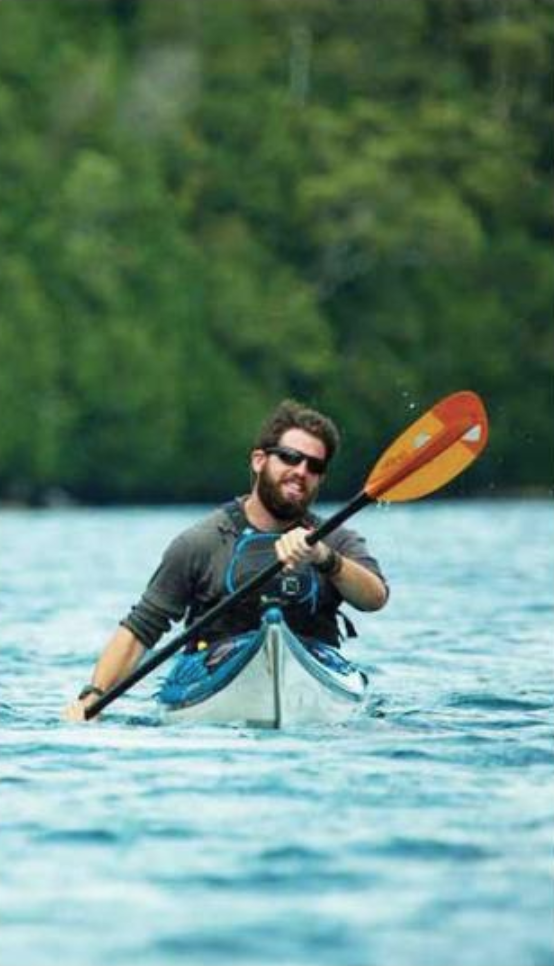
Simon graduated from UVM last May and headed out to California to work as the Volunteer Program Assistant for the Yosemite Conservancy, a seasonal position that ended in October. What’s next? At press time, Simon wasn’t sure. He set a goal for himself of traveling to all seven continents before he turns 25 and he’s 24 now. He doesn’t count Antarctica - “too far and too hard to get to” - but counts Asia and the Middle East as two continents. As for returning to Mongolia, he doesn’t dismiss the idea. “I do miss it. It is spectacularly gorgeous and the people are so willing to work with you, but if I return it will be in a different capacity.”
When he looks back on his years at Glen Urquhart - he spent sixth, seventh and eighth grade at GUS - Simon feels it was an influential period in his life. “That time formed me a lot. I didn’t really have an identity before that. Glen Urquhart gave me a solid foundation in everything I needed to know - the social skills to thrive, to be happy. I had two best friends - the three boys from Beverly. We called ourselves the Beverly Triangle.” For the record, the other two angles of the triangle were Daniel Terner and Sam Rich.