
8th Grade World Maps Project


Every year, 8th grade humanities students create a unique, individual, map of the world.
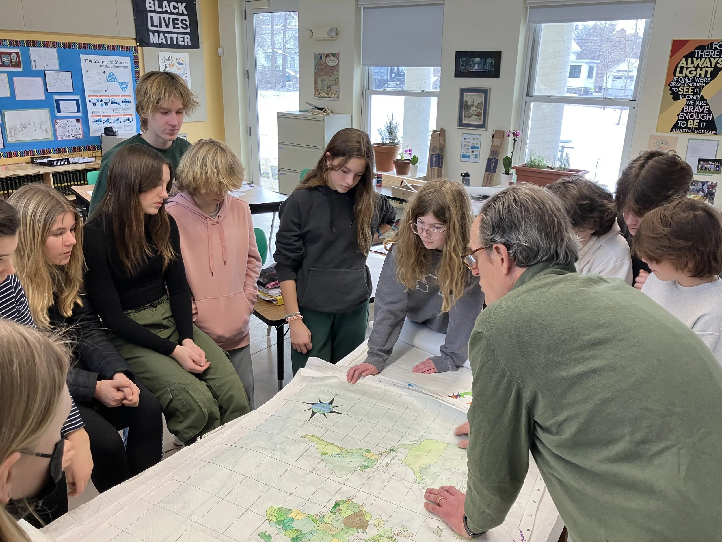
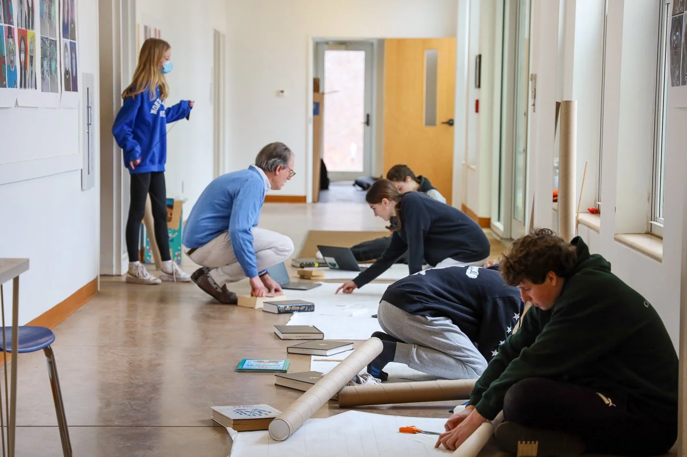
They revisit key elements of geography, building on knowledge from their 6th grade social studies classes, before beginning to work on this map, which is completed in three stages over several weeks. They start with a large, blank piece of paper, divide it into four quarters, and map out accurate parallels and meridians including the equator and prime meridian. They decide what will be the center of their map, and measure out lines using a specific scale. They use Google Maps to find points of absolute location, which they connect in order to draw each continent, and then they fill in country borders before moving on to the final, decorative, stage.
In this final stage, they make personal choices about what to include in terms of bodies of water or major mountain ranges and cities, though they are required to include certain features such as the five significant parallels of latitude, a compass rose, a scale establishing mileage specific to their maps, and a legend highlighting key features. They have artistic freedom in choosing their decorative or ornamental details, and can also choose to include an organizing theme, such as population or CO2 emissions, or points of interest.
In the process of creating these maps, students learn that no map is perfect due to the issue of distortion - an inevitable reality as a sphere cannot be transferred to flat paper without making adjustments to position, size, or shape. They have to consider what individual elements of their map will be, what the purpose of the map is, and any compromises necessary to transfer a 3D object to a 2D one.
Before the school break in March, students will have completed the final decorative stage, and their maps will be hung along the walls of the Upper School, where their White Shirt Projects are now displayed. I interviewed Jeffrey Bartsch, the originator of this project at GUS, about the project, which he was kind enough to return to GUS to oversee. We were all excited to have his expertise and guidance on such an important part of the 8th grade year, and we’re looking forward to seeing the completed maps in the coming weeks! We’ll update with the final maps, but in the meantime, here are some of Mr. Bartsch’s thoughts on the assignment.
An Interview with Jeffrey Bartsch
How would you describe the project?
Jeffrey Bartsch (JB): It’s meant to be a way to tie things together. It’s an invention that starts with a blank piece of paper, and then they create the world they are going to live in, and hopefully, it gives them context for the size of the world, how small it is and how large at the same time. It also draws on various talents and skills and disciplines, and among other goals, the task is meant to expand their knowledge of the landforms and political boundaries of our planet. There are several challenges and basic expectations, such as scaling the map properly and conveying information with an accurate portrayal. The location, shape, and relative size should be as accurate as you can manage.
What are some problems students encounter?
JB: There are inherent difficulties in making a round object flat, so understanding the geometry of it, the distortions, the concepts to master when some seem counterintuitive means they have to learn to trust the process, to trust themselves. The latitudes and longitudes can be confusing, and measuring your latitude and longitude lines can be tricky.
How long have you been doing this project?
JB: This year will be the 11th or 12th year. It started my second year at GUS.
What inspired you to do this project with kids?
JB: To deepen their understanding of the world and create context about it.
What do you hope students take away besides a beautiful map?
It’s a very big project with many different parts, and it requires a lot of specificity. It’s like design thinking too in that they have to see the whole picture, the details, and the stages. For this project, the eraser is more important than the pencil. Everyone makes missteps and has to have the courage to go back and go forward, which leaves them with the memory of a challenge overcome.
We are so glad to have Mr. Bartsch’s wisdom and guidance as we tackle this challenge, and we cannot wait to see the results and all of the different ways 28 students envision and make the world.